


There are 3 ways to get from Forks to Hurricane Ridge (Station) by bus, taxi, or car
Select an option below to see step-by-step directions and to compare ticket prices and travel times in Rome2Rio's travel planner.
Bus, taxi
best- Take the bus from Tillicum Park and Forks Avenue to Herrick and Hwy 101bus 14
- Take the taxi from Herrick and Hwy 101 to Hurricane Ridge (Station)taxi
1h 44m$60–90Bus
cheapest- Take the bus from 4th and Bogachiel way to Port Angeles Gateway Transit Centerbus 14
- Take the bus from Port Angeles Gateway Transit Center to Hurricane Ridgebus Hurricane
3h 4m$2–25Drive 68.4 mi
- Drive from Forks to Hurricane Ridge (Station)car 68.4 mi
1h 48m$12–17
Forks to Hurricane Ridge (Station) by bus
Comparing Your Travel Options
The cheapest way to get from Forks to Hurricane Ridge (Station) is to bus which costs $1 - $25 and takes 3h 4m.
The fastest way to get from Forks to Hurricane Ridge (Station) is to bus and taxi which takes 1h 44m and costs $60 - $90.
No, there is no direct bus from Forks to Hurricane Ridge (Station). However, there are services departing from 4th and Bogachiel way and arriving at Hurricane Ridge via Port Angeles Gateway Transit Center. The journey, including transfers, takes approximately 3h 4m.
The distance between Forks and Hurricane Ridge (Station) is 69 miles. The road distance is 68.8 miles.
The best way to get from Forks to Hurricane Ridge (Station) without a car is to bus and taxi which takes 1h 44m and costs $60 - $90.
It takes approximately 1h 44m to get from Forks to Hurricane Ridge (Station), including transfers.
Forks to Hurricane Ridge (Station) bus services, operated by Clallam Transit, depart from 4th and Bogachiel way station.
Forks to Hurricane Ridge (Station) bus services, operated by Clallam Transit, arrive at Port Angeles Gateway Transit Center station.
Yes, the driving distance between Forks to Hurricane Ridge (Station) is 69 miles. It takes approximately 1h 48m to drive from Forks to Hurricane Ridge (Station).
There are 88+ hotels available in Hurricane Ridge (Station).
What companies run services between Forks, WA, USA and Hurricane Ridge (Station), WA, USA?
You can take a bus from 4th and Bogachiel way to Hurricane Ridge via Port Angeles Gateway Transit Center in around 3h 4m.
- Phone
- +1 360-452-4511
- [email protected]
- Website
- Clallam Transit
Bus from Tillicum Park and Forks Avenue to Herrick and Hwy 101
- Ave. Duration
- 57 min
- Frequency
- Every 4 hours
- Estimated price
- $1–15
- Website
- Clallam Transit
- Youth 6-19, All routes except 14, 30 and 123
- $1
- All routes except 14, 30 and 123
- $1
- Youth 6-19 Premium Routes 14 and 30
- $1
- Premium Routes 14 and 30
- $2
- Youth 6-19 Route 123 (Strait Shot)
- $8
- Route 123 (Strait Shot)
- $15
Bus from 4th and Bogachiel way to Port Angeles Gateway Transit Center
- Ave. Duration
- 1h 19m
- Frequency
- Every 4 hours
- Estimated price
- $1–18
- Website
- Clallam Transit
- Youth 6-19, All routes except 14, 30 and 123
- $1
- All routes except 14, 30 and 123
- $1
- Youth 6-19 Premium Routes 14 and 30
- $1
- Premium Routes 14 and 30
- $2
- Youth 6-19 Route 123 (Strait Shot)
- $9
- Route 123 (Strait Shot)
- $18
Bus from Port Angeles Gateway Transit Center to Hurricane Ridge
- Ave. Duration
- 45 min
- Frequency
- Every 3 hours
- Estimated price
- $1–7
- Website
- Clallam Transit
- Youth 6-19, All routes except 14, 30 and 123
- $1
- All routes except 14, 30 and 123
- $1
- Youth 6-19 Premium Routes 14 and 30
- $1
- Premium Routes 14 and 30
- $2
- Youth 6-19 Route 123 (Strait Shot)
- $4
- Route 123 (Strait Shot)
- $7
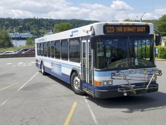
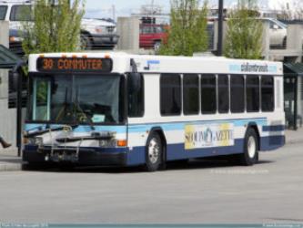
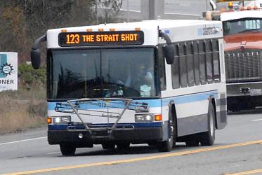
- Ave. Duration
- 47 min
- Estimated price
- $60–75
Want to know more about travelling around the world?
Rome2Rio's Travel Guide series provide vital information for the global traveller. Read our range of informative guides on popular transport routes and companies - including Train travel in France: A guide to SNCF, French strikes 2018: What are my alternative transport options?, and How to get from JFK to New York City - to help you get the most out of your next trip.